
sailing homepage :
trip reports :
1: sf to sd :
san luis to cojo
Previous: san luis lightning!
Next: cojo to santa barbara
Oct 13: Passage from San Luis Obispo to Cojo Anchorage
Even though the Port San Luis Security guy had promised to meet us at 6AM to escort us off the private mooring ball, we slept in. Everyone was exhausted. No one came knocking, and we took our time waking up. The weather forecasts had been continually revised since last night, and we later found out that the Coast Guard issued an all-stations warning for lightning strikes in the area.
It sucked that the forecast went from "chance of showers" to "showers, slight chance of thunderstorms", to "showers, chance of thunderstorms", to "all-stations thunderstorm and lightning warning". I guess that happened at about the same time we were running back from the storms. I thought we were better at forecasting than that? I guess this is the Point Horn of California part we were warned about.
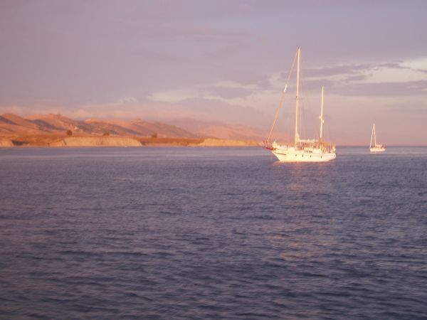
Anyway, we took on some fuel again at the commercial pier and motored out into the calm Pacific about 10AM. Who cares about a night crossing of Point Arguello and Point Conception? We just wanted to get through to Southern California.
|
|
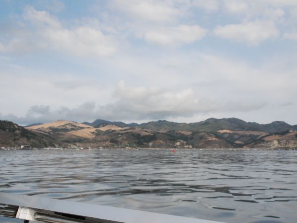 Goodbye again, Port San Luis
 Calm conditions outside
It was a beautiful, windless, uneventful day. Well, it was at first.
|
|
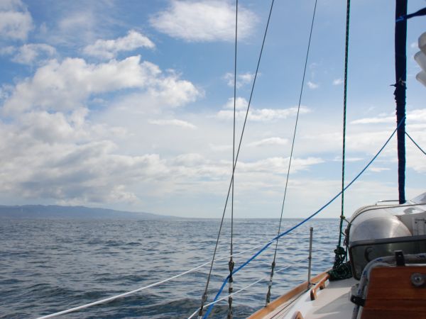 Clouds to the left of me...
 Clouds to the right...
...stuck in the middle with Wanderlust. We powered on, staying close to shore to minimize the length of our trip. We checked the weather a lot, and it didn't change for the longest time.
|
|
 Point Arguello
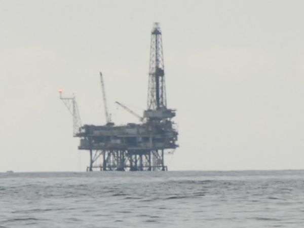 First oil rig
We were all overly cautious. Everyone was wearing all their gear, we listened to the weather every 15 minutes or so, and we kept the boat moving at our 'fast' setting, not our cruising speed. We just wanted to get around the danger zone.
|
|
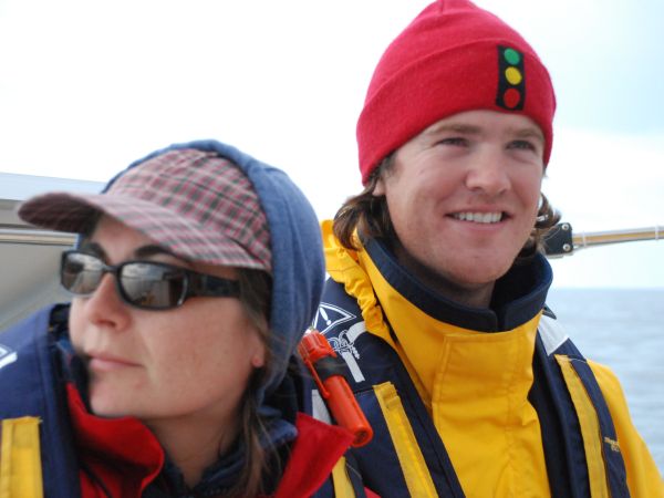 Will and Sara on watch
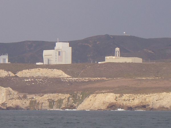 Vandenburg air force base
Right as we were passing Vandenburg AFB, where they occasionally test-fire minuteman missiles over the Pacific, we heard our first Coast Guard "Pan Pan" call. There are three levels of emergency calls: "Securite", "Pan Pan", and "Mayday". A "Pan Pan" means something dangerous is going on.
The message was garbled, we didn't hear it all, but we did make out the words "waterspout" and "quarter mile diameter". Great. Out came the charts, we quickly looked for a hiding spot close to shore, but there was nothing. Between Port San Luis and Cojo Anchorage there are no protected anchorages. No coves, no docks, nowhere to hide.
We all talked about turning around again, but we pressed on until the message repeated. It was a nerve-wracking half hour. It turns out the spouts were in the Channel Islands, a good 20nm away, so we pressed on for Cojo Anchorage.
Somewhere in here the head ceased to function. For you landlubbers, this is the toilet. It no longer wanted to flush overboard, which we are allowed to do while at sea. Just because I happened to be the last one to use it, I guess I had to fix the stupid thing. Anyway, I was below, trying to fix the toilet, when we calmly motored by Point Conception - Cape Horn of the Pacific.
|
|
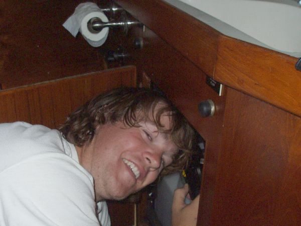 Will working on the head
 Evil Point Conception
The weather was deteriorating, so rather than continue on towards Santa Barbara, we decided to anchor in Cojo Anchorage. This is a little protected spot just 3nm behind Point Conception, but because of the high cliffs and curved coastline, it's a haven for wayward mariners. Like us!
|
|
 Cojo anchorage
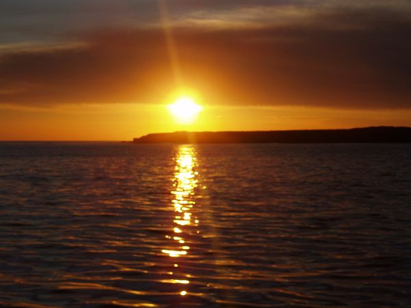 Sunset at Cojo